BioGeo Editions
Land, water, life.
Beautiful, exacting maps of the natural world. Each takes one subject, physical or environmental, and sets it over a contrasting landscape.
Printed to order and sold through BioGeo Editions on Etsy. Five per cent of every sale goes to wildlife conservation.


5%
Of every sale, to wildlife conservation
The prints pay for the country they show
BioGeo is a profit for purpose business. Five per cent of the sale price of every print goes to wildlife conservation, alongside the $5 from every billable consulting hour and every app subscription.
It is not a rounding up at the checkout and it is not added to your price. It comes out of the sale, whatever the sale is, and it is the same five per cent on a $49 print as on a $269 one.
The catalogue
Also in preparation
Living Systems has three sheets in it. This one would make four, from the same public data and on the same paper. It is not finished, so it is not shown: a placeholder image would be a promise the catalogue cannot keep.
The bioregions
The eighty nine bioregions of Australia as a single coloured plate. The ecological counterpart to the national parks sheet, and a map that almost nobody prints.
If this is the sheet you want on a wall, say so and it moves up the list. Tell us.
Drawn from the survey, not from a picture
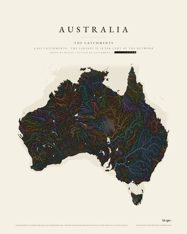
Every sheet is rendered from elevation data by a pipeline written for the purpose. Nothing is traced, nothing is painted in, and nothing is stretched to fit the paper. Change the data and the sheet changes with it.
Five metre LiDAR, bare earth
The South East Queensland sheets are drawn from the Queensland 5 m LiDAR terrain model: a laser survey of the ground under the canopy. Global satellite models measure the treetops, which is why rainforest ranges come out as green mush. Here the gorges under Lamington are actually visible.
Drawn for the largest size
Each sheet on Etsy is drawn at 300 DPI at the largest size it is sold at, so the printer only ever scales it down. Nothing is invented to make it look sharper, so what you see at arm's length holds up with your nose against the glass.
Places, properly
The large print sellers cover a whole country with a handful of continent maps from coarse global data. Individual places, drawn at survey quality as a consistent series, is the gap this catalogue is for.
Paper, frame and canvas
- Sizes
- Upright sheets come at 30 x 40, 45 x 60 and 60 x 80 cm, and unframed at 75 x 100 cm. Landscape sheets come at the same sizes turned on their side, square sheets at 50 x 50 cm, and the sheets drawn at one scale at 60 x 90 cm. Each print lists its own sizes, and all prices include delivery.
- Printing
- Printed to order by Gelato, our production partner, usually at a printer in Australia.
- Unframed
- Premium matte paper, 200 gsm, smooth and non-reflective. Sent rolled in a tube. Frame not included.
- Framed
- Black or white pine frame, 20 to 25 mm deep with a 10 to 14 mm face, shatterproof plexiglass front. Arrives assembled and ready to hang.
- Canvas
- Cotton and polyester canvas on a 2 cm wooden stretcher, ready to hang. The whole map is on the front; the edges mirror the border of the sheet.
- Delivery
- Each print is made to order, then posted from the printer. Allow about one to two weeks for printing and delivery within Australia. Delivery is free.
- Returns
- Because every print is made to order, change of mind returns are not accepted. If your print arrives damaged or faulty, message the shop with a photo within 14 days and it will be replaced free. Colours can look slightly different from one screen to another.
- Colour
- On the light sheets the printed ground is a warm off white, and the darkest ink is a warm near black rather than a flat process black, which is what keeps them from going cold in a frame.
- Attribution
- The credit line along the foot of every sheet names the survey the terrain came from. It is there because the data is public and openly licensed, and saying so is part of the job.
Buy a print
Prints are sold through BioGeo Editions, our shop on Etsy. A print that is not there yet can be ordered by email from its page in the catalogue.
Visit the Etsy shopA place that is not in the catalogue
The pipeline takes a bounding box, so any place with a public elevation survey can be drawn: a property, a catchment, a range you walk. Commissions are quoted individually and the same five per cent applies.
Ask about a commissionTrade, gallery and bulk
For volume orders, gallery stock, or a set framed as a series for an office or a visitor centre, get in touch and we will work out the run.
Contact BioGeo