BioGeo uses cutting-edge science, technology, and research to provide practical and innovative solutions to protect and enhance native biodiversity. We contribute both funding and professional time to conservation initiatives, supporting projects that protect and restore native ecosystems.

Recent pro bono work

The app's 3D landscape view: modelled wildlife movement and the stock routes, draped over the terrain.

Acquisition priorities for Queensland Trust for Nature

Queensland Trust for Nature buys land to protect it. BioGeo built a model for them, pro bono, that scores every parcel of land by how much buying, protecting or restoring it would do for nature, so purchases can follow the evidence rather than whatever comes up for sale.

The Western Downs pilot covers 3.8 million hectares and 43,000 parcels, and follows an earlier pilot in the Moreton Basin. It weighs rarity, condition, how readily land could be restored and how wildlife moves across the landscape, and it keeps two benefits apart: stopping clearing, and making protection permanent. Most of the bushland left in the Western Downs is already covered by clearing laws, so buying it there secures permanence and management rather than preventing clearing.

QTFN's team works with it through a private web app, with guided views that each answer one question about the landscape.

Partner: Queensland Trust for Nature · pro bono
Where people record wildlife (left) and butterflies and moths (right). The dashed lines mark the Brisbane to Ipswich gap.

Reconnecting the Richmond birdwing

Wildlife Queensland's Richmond Birdwing Conservation Network plants the butterfly's host vine as stepping stones, to reconnect its two isolated populations north and south of Brisbane. BioGeo is helping, pro bono, to find where planting will do the most good.

BioGeo cleaned and combined about 6,200 records from WildNet, the network's own sighting forms, iNaturalist and the Atlas of Living Australia, and modelled where the vine can grow.

Across the Brisbane to Ipswich gap the vine is there but the butterfly is not: only 2 of 200 vine patches hold it. It is not for want of looking, as the gap is among the most recorded ground in the region. The best explanation is distance. Patches in the gap sit a median 13 km from the nearest butterflies, about five times the distance to the north or south, so planting should reach outward from where the butterfly already is.

Partner: Wildlife Queensland · pro bono

Habitat suitability from the knowledge-based model, from Woodford to the border ranges. Darker blue is better habitat.

Where to look for the Long-nosed Potoroo

The Long-nosed Potoroo is small, nocturnal and rarely seen, and much of south east Queensland has never been searched properly for it. For Wildlife Queensland, pro bono, BioGeo built habitat models from the border ranges to K’gari, and a survey planner that turns them into ranked one-kilometre squares to search.

There are two independent models: one learned from the potoroo records, and one built from ecological criteria that never saw a record. They are kept apart on purpose, so that where they agree means something.

About 70% of the region has never had enough survey effort to detect a potoroo, and 96% has no dated record within 2 km. The planner points survey teams at good habitat where nobody has looked, and at old records worth checking again.

Partner: Wildlife Queensland · pro bono

More conservation projects

Platypus eDNA Project

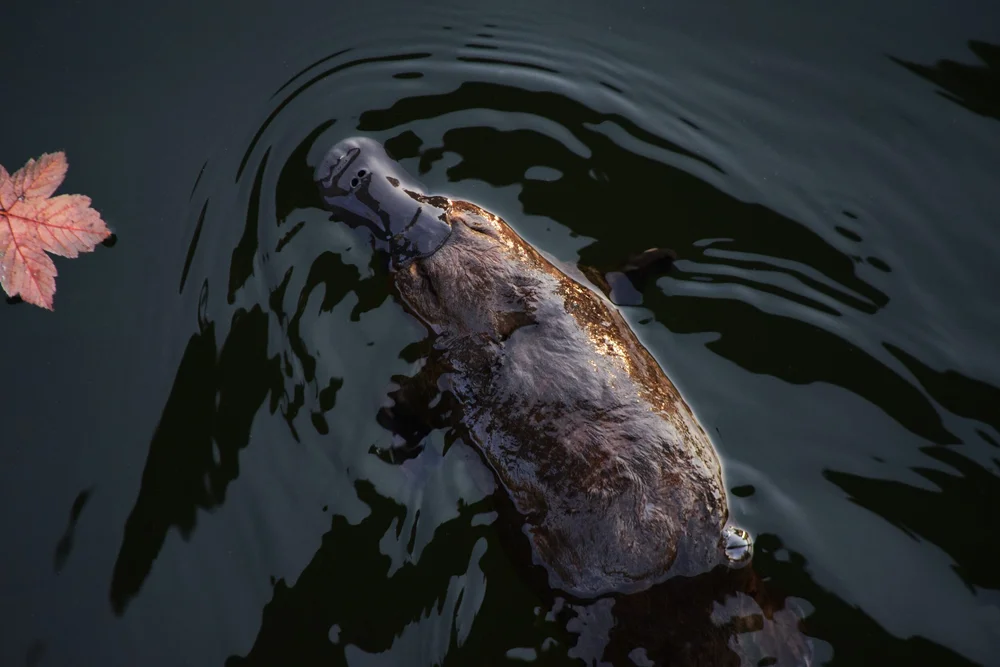
Platypus eDNA project

Using both observational community data and presence/absence data from environmental DNA (eDNA), BioGeo has assisted Wildlife QLD with the GIS aspects of a project to identify where platypuses are likely to reside or where reintroductions would have the greatest chance of success — focusing conservation effort where it matters most.

Partner: Wildlife Queensland
Echidna Roadkill Hotspot Modelling

Echidna roadkill hotspot modelling

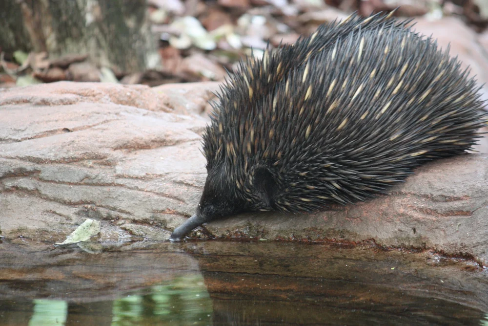
Wildlife Queensland's EchidnaWatch programme gathers information on the distribution and abundance of echidnas across Queensland. BioGeo developed spatial models to identify roadkill hotspots, helping prioritise locations for targeted road safety interventions to protect this iconic species.

Partner: Wildlife Queensland
Wildlife Corridors for the Scenic Rim

Wildlife corridors for the Scenic Rim

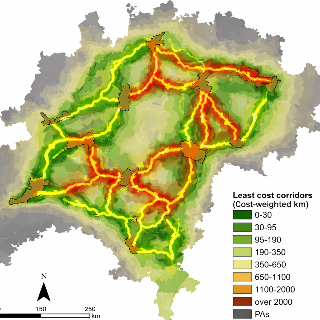
The Wildlife Preservation Society Queensland (Scenic Rim Branch) is working on an ambitious corridor plan to link habitats across the Scenic Rim. BioGeo went beyond simple display mapping to develop a web mapping application accessible to all, where information can be stored, updated, visualised, and downloaded — making the conservation case at a landscape scale.

Open the Scenic Rim corridor map in 3D → Partner: Wildlife Queensland
Brush Tailed Rock Wallaby Habitat Mapping

Brush-tailed rock-wallaby habitat mapping

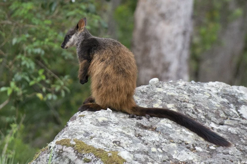
A weighted overlay analysis for the Wildlife Preservation Society Queensland to determine habitat suitability for brush-tailed rock wallabies within Logan City Council and surrounds. The model incorporated terrain roughness (as a proxy for predator refugia), remnant vegetation, and proximity to known sightings to identify three priority habitat areas.

Partner: Wildlife Queensland
$5

per billable hour

Supporting wildlife conservation — every project

BioGeo operates as a profit-for-purpose business. $5 from every billable consulting hour, and $5 from every app subscription each month, supports wildlife conservation — alongside volunteer time and pro-bono geospatial analysis for conservation and ecological research.

The same commitment applies to the map prints: 5% of the sale price of every print sold through BioGeo Editions goes to the same work. It comes out of the sale rather than being added to the price.

Our conservation partners

Wildlife Preservation Society of Queensland Bat Conservation & Rescue Queensland Australian Wildlife Conservancy

Working on a conservation project?

BioGeo offers discounted and pro-bono geospatial support for conservation groups, not-for-profits, and research teams whose work aligns with our conservation goals. If you have a project that could benefit from spatial modelling, habitat analysis, or web mapping, we'd like to hear about it.

Get in touch