
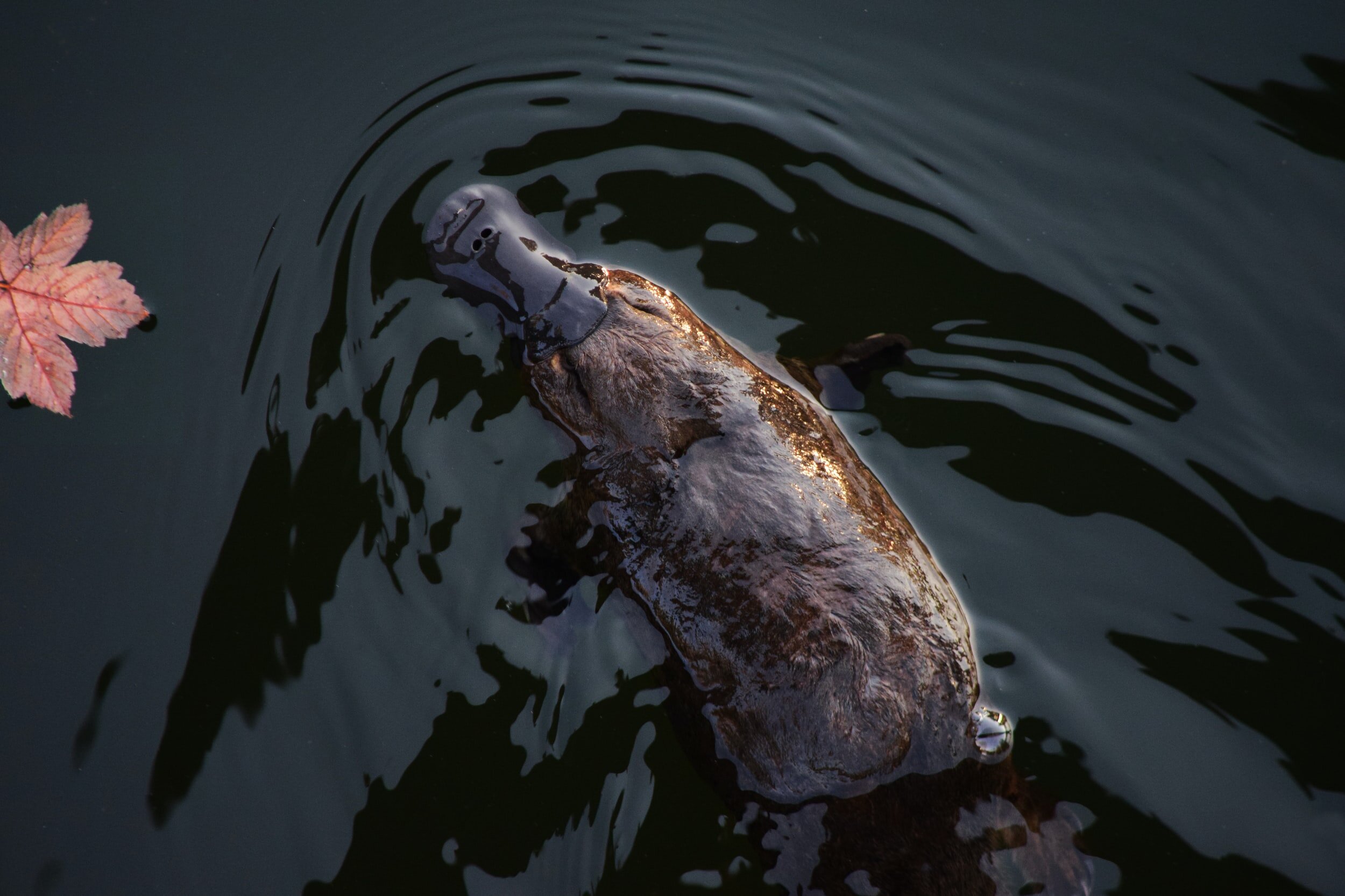
Platypus eDNA Project
Wildlife Queensland’s PlatypusWatch program has been gathering information on the distribution and abundance of platypus around Queensland – and we wanted to help.
Using both observational data from the community and presence/absence data from environmental DNA (or eDNA), BioGeo has been assisting Wildlife QLD with the GIS aspects of the project with the ultimate aim to identify where platypuses are likely to reside or where reintroductions would have the greatest chance of success - focusing conservation efforts.
Click on the link below to view a web mapping application that highlights where and when targeted eDNA samples have been collected over the past five years, along with their results.
The “Total Score (for SITE) represents a relative measure of the concentration of platypus DNA found at each site and sampling event – the higher the score the greater the number of copies (and the larger the green circles).
The sliders on the right-hand side of the application allow you to filter the dataset by total score, and/or by year. A simpler measure of “positive”, “negative” or “equivocal” is also provided as a filter option along with filters for waterways and specific site codes. There are additional layers including eDNA sites, and perennial waterways, and recorded sightings of platypus over the same five-year timeframe (data derived from the Global Biodiversity Information Facility – GBIF). Furthermore, there is a range of base maps including satellite imagery, and a dark map (to better highlight site locations and values from the background).
If you think that BioGeo could help with your project, contact us at info@biogeo.com.au